Antiquarian Maps
One of the most successful birthday present I bought my ten year old daughter, a few years ago now, was an illustrated atlas. We have spent and continue to spend many happy moments playing a guessing game of ‘which country’ from illustrated clues on each page - such as crops, animals, and traditions. It is lovely to think that generations of parents and children have scoured over maps in much the same way for hundreds of years.
Before Mankind could communicate through the written word, we were creating primitive maps out of natural resources within the natural environment. Early sketched maps showed fruitful places to hunt and shelter. As the sea became critical to transport and food, then charts were produced on shells and bones to indicate natural harbours, fishing grounds, hazards or safe routes.
However, it was not until the 16th Century that maps evolved into detailed multipurpose documents. The beginning of the 15th Century heralded the period when cartographers not only began to record geographical boundaries but introduced a style and a design element, which when coupled with historical content, became beautiful works of art.
Since this golden age of discovery, maps in paper or globe form have been instrumental in making the world a smaller place. They help ordinary folk understand faraway places, they have excited us, and they have recorded some of mankind’s most celebrated feats - aside from helping us travel from Aberystwyth to Shrewsbury. Maps have also been integral to territorial debate and have recorded the consequences of disputes. Maps continue to evolve.
Never has the map been redrawn more dramatically than in the 20th century. Even in one decade the map of the world can change unrecognizably. Starkly demonstrated when we compare a world atlas in 1910 to a similar atlas in 1920, the years bridging the Great War.
It does make us wonder perhaps fearfully how the world map will look 100 years from now.
But today it is earlier maps and globes from the age of discovery, which are the mainstay of the collectable market. Many of these so-called ‘antiquarian maps’ were extracted from published atlases and the printing within these publications was considered an art form, as much as science.
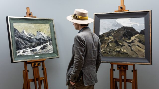
When we study a map of a region we are familiar with, we are immediately drawn to the changes in names, in the changed spelling of locations, we can also see the initial evolution of the county towns we know in early plans that often are integral to a county map. We see the importance of small parishes we might know which are now dwarfed by cities who had little prominence on the map. Maps are a pause button on history, while often being evocative, interesting, and beautiful.
Below are just a few of the notable mapmakers from this period:
Gerard Mercator (1512 – 1594): Flemish geographer and probably the most influential of map makers
Willem Janszoon Blaeu (1571 – 1683): Dutch cartographer, atlas maker and publisher, during the Golden Age of Dutch map making. Illustrated sailing ships and sea monsters to portray the new Continents of Asia and America
Joan Blaeu (1596 – 1673): son of Willem who became the official cartographer for Dutch East India Company
Abraham Ortelius (1527 – 1598): Flemish cartographer and creator of the first modern atlas ‘Theatrum Orbis Terrarum’
Christopher Saxton (1540 – 1610): English cartographer who produced the first maps of England and Wales
John Speed (1551 – 1629): Britain’s most famous cartographer and historian, a prolific publisher of maps, many of which we see at auction today
Robert Morden (1650 – 1703): English bookseller, publisher, map and globe maker and one of the most commercial cartographers
Here are some images of some of the maps which we have sold in recent years at auction with prices noted. We would be most pleased to discuss maps with you and we can provide free no obligation values should you require.


Imminent Auctions
Sad 25 Gorffennaf 2026 10:00 YB
The Welsh Sale at Gregynog Hall
Caerdydd
Llun 27 Gorffennaf 2026 11:00 YB
The Welsh Sale (Part II)
Welsh Sporting Antiques, Welsh Antiques incl. ceramics, Welsh Art Collection Builders (unreserved)
Caerdydd
Maw 4 Awst 2026 10:00 YB
Colwyn Bay Monthly
Bae Colwyn
Arlein yn Fuan